Satellite Image Segmentation
Building Footprint Segmentation from Satellite Imagery
Project Overview
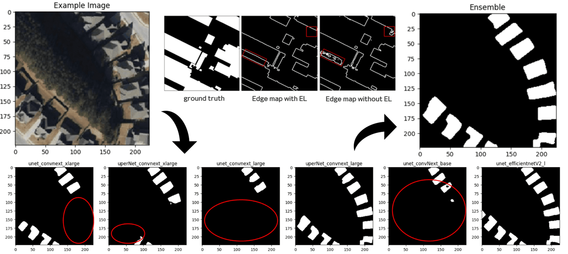
Built a building-footprint segmentation pipeline for satellite imagery using tailored preprocessing, Elastic Transform and Random Shadow augmentation, and an ensemble of six ConvNeXt- and EfficientNet-based models. The project ranked 2nd among approximately 1,000 participants and received the IITP Director’s Award.